
"When efficiency and precision matters"
www.africansurveyors.com
“Good buildings come from good people, and all problems are solved by good design.” – Stephen Gardiner
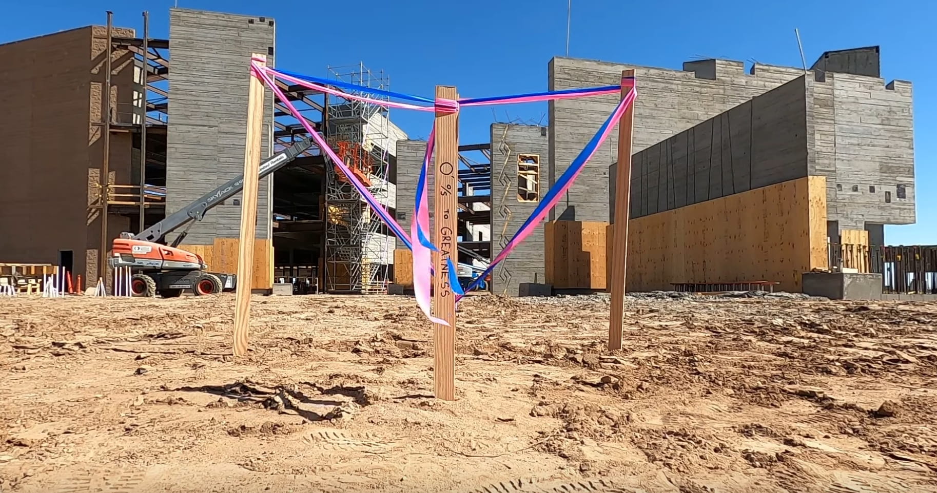
But even the best designs fall flat without one essential step—accurate data from a construction survey. In an industry where millimetres matter, where deadlines are unforgiving, and where precision ensures safety and compliance, the construction survey quietly plays one of the most powerful roles in shaping the built environment. From towering high-rises to underground infrastructure, everything starts with a clear understanding of the land.
At its core, a construction survey is a highly specialised method of mapping and measuring a site to support building and infrastructure development. It sets the stage for what will be built, where, and how accurately. Licensed surveyors use tools like GPS receivers, total stations, and increasingly advanced methods such as lidar room mapping to gather this critical information.
The surveyor’s role doesn’t end after the initial site scan. Throughout the construction lifecycle, surveyors are continuously involved—checking alignment, marking out foundations, and validating that every structure rises exactly where it’s meant to. It's not just about lines and coordinates—it's about confidence, compliance, and coordination.
When we look at the objectives of surveying in civil engineering, we see the intent is not just to gather data, but to translate the physical terrain into informed decisions. Surveys enable engineers to plan responsibly. They ensure that gradients, drainage, elevations, and boundaries are fully understood before a single brick is laid. At African Consulting Surveyors, this foundational step is what we base every successful project on.
Imagine designing a bridge without knowing the true contours of the land. Or laying down pipelines in a flood-prone area. With proper surveying, these risks are reduced drastically.
Depending on project scope and site complexity, there are various types of survey in civil engineering that may be required. Boundary surveys define legal property lines—critical when building near existing developments. Topographic surveys capture terrain details like elevations, trees, and drainage paths.
Then there are construction staking surveys, which guide the physical placement of structures like foundations, roads, and utilities. These must be executed with surgical precision. A misaligned stake can mean a wall built in the wrong place or a pipe misdirected underground.
We also can't ignore as-built surveys, which document the final layout of the structure. These surveys serve not just the current project, but future renovation, inspection, or legal review.
Today’s surveyors work with more than just tripods and tape measures. With lidar room mapping, detailed point clouds capture entire spaces in three dimensions, offering a quick, clear, and dense dataset for BIM integration and clash detection.
When mapping large or complex interiors, surveyors use positioning targets for 3d scanning. These targets ensure data captured from different scan stations aligns correctly—an absolute must in high-precision environments like hospitals or data centres.
And when a project calls for it, we use unmanned aerial systems, drones, and even robotic total stations. All of these reduce time on site and improve accuracy, while reducing human error.
Let’s talk about the mining sector for a moment. At a gold ore processing plant, for instance, construction surveys are vital during site preparation, plant alignment, and conveyor layout. One miscalculation in elevation or angle can disrupt the flow of material, impact safety, or delay commissioning.
With mining, the margins are tight and the environments are remote. That's why construction surveys tailored to these conditions, using robust and mobile technologies, are essential to maintaining efficiency and safety.
The journey of a construction survey doesn’t stop with the first dataset. It continues through site inspections, grade checks, utility layouts, and final verification. Surveyors must ensure everything aligns with architectural and engineering plans, all while adapting to changes that occur mid-construction. We’re there at the start—but also at every checkpoint along the way.
At African Consulting Surveyors, our approach is rooted in the belief that you build once, but you survey constantly.
Investing in high-quality surveying is not just a technical necessity—it's a business advantage. Errors in measurement can lead to redesigns, rework, or worse—structural failure. Proper surveys, especially early on, mitigate these risks and allow stakeholders to move forward with confidence.
Whether you're laying the foundation for a corporate headquarters or prepping the ground for a wind farm, your construction survey determines the success of what comes next.
Every project begins with the land. How well you understand it shapes everything else. Through advanced technology, professional expertise, and a deep understanding of the types of survey in civil engineering, African Consulting Surveyors ensures that no detail goes unnoticed.
Whether it's lidar room mapping for a detailed interior model or supporting a complex gold ore processing plant, we align ambition with reality—one accurate measurement at a time.