

"When efficiency and precision matters"
www.africansurveyors.com
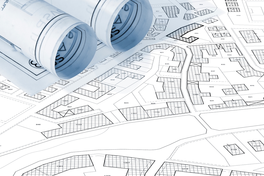
"More than boundaries, a property survey is your peace of mind," said one seasoned landowner. A Property Survey is the mapping and measurement of a land parcel, confirming legal boundaries, locating subsurface infrastructure, and detailing structural nuances. It’s a professional baseline—vital for land owners, developers, and planners alike.
A Property Survey defines the legal limits of a land parcel, translating field measurements into formal records. It involves locating boundary lines, marking corners, and verifying titles. It ensures the structure you plan to build, buy, or develop truly sits where intended. Surveyors also uncover underground utilities, avoiding costly mistakes during construction.
Geological survey in civil engineering is often embedded within a Property Survey, providing insight into subsurface stability and soil conditions. Combining both gives clients strong foundations—literally and figuratively.
A proper Property Survey forestalls neighbor disputes. Overstepping onto adjacent land can lead to legal battles. Avoiding these disputes begins with precise land demarcation.
Subterranean utilities like water pipes, sewage lines, and cables sometimes crisscross beneath your land. If unidentified, excavations can hit them. That’s why integrating GPR survey services is essential, revealing what's beneath before any ground breaks.
Ever seen a Coal preparation plant process up-close? Heavy industry thrives on precise logistics. A Property Survey ensures large-scale operations conform to legal boundaries, efficient use of space, and compliance with safety zones.
Digging into land title deeds, measuring lines, and placing markers—this defines legal ownership. It’s the most common for homeowners and developers.
Useful for planning and drainage designs, this survey maps elevations, slopes, and natural features. It helps align site works with geospatial data and development plans.
This is the gold standard for finance or land transactions. It confirms ownership, easements, and precise improvements on the parcel.
By combining GPR survey services and geospatial technology jobs expertise, this method reveals hidden utilities accurately. It’s critical before any excavation.
Remove obstacles—ditches filled, fences unlocked, doors open. Surveyors need to access corners, basements, and meters. It saves time and money.
Loose handles, cracked plaster, clutter around drain covers—they slow the surveyor down. Handle them beforehand to maximize efficiency.
Dig out deeds, old surveys, site plans, and utility maps. Sharing geospatial technology jobs expertise helps surveyors integrate legacy systems. That means fewer surprises and smoother alignment between the survey and location history.
Once the Property Survey is complete, you’ll receive a map and a detailed report. This guides:
Then comes decision time. If discrepancies or encroachments arise, it's often best to renegotiate or adjust plans early. That avoids issues later on.
Modern surveys increasingly rely on benefits of 3D scanning. Integrating laser scanning yields highly precise models of terrain, structures, even utility conduits. That digital twin supports future planning, BIM integration, and regulatory compliance. It’s cutting-edge, yet practical!
Ensure they are licensed, experienced, and adept in geospatial technology. Ideally, they provide comprehensive services—boundary, utility mapping, subsurface insights, and optional topographic or ALTA surveys. That ensures you gain full clarity and regulatory compliance in one package.
A Property Survey is more than just a map. It’s your roadmap to confident land ownership, construction readiness, and future-proof planning. From legal clarity to subsurface intelligence and high-resolution 3D models, today’s survey is a multi-faceted tool—equipping you for success.
Let’s touch base if you'd like help preparing your site or matching it to regulatory needs. We've got the expertise to guide you every step of the way!