

"When efficiency and precision matters"
www.africansurveyors.com
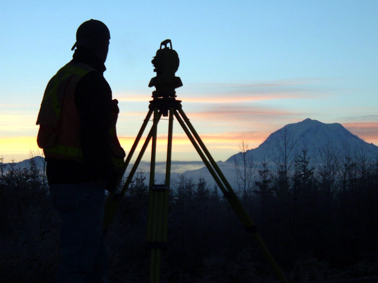
"Precision is the heart of progress," said a renowned engineer once. In civil engineering, even a centimeter off can cost millions. Whether it’s constructing a bridge, mapping ocean floors, or designing underground infrastructure, the success of these projects hinges on one thing—accurate surveying.
At African Consulting Surveyors, we don’t just measure land. We unlock the potential beneath it. In this post, we break down the different types of engineering survey, exploring what makes each vital to planning, construction, and sustainability.
Surveying isn’t just a technical process—it’s the first critical step toward any infrastructure project. By defining the size, shape, position, and features of a location, surveyors establish the groundwork upon which roads, skyscrapers, or even a coal plant process depend.
From defining property boundaries to modelling underground utilities, different types of engineering survey help engineers design with purpose and precision.
Plane surveying assumes the Earth is flat—ideal for smaller-scale work like housing developments, municipal layouts, or small roads. It’s faster, simpler, and commonly used in residential or urban environments where minute curvature won’t affect results.
On the flip side, geodetic surveying accounts for Earth’s curvature. It's essential when working over large distances—such as railway lines or international boundaries. These surveys are calculated with high precision using satellites, total stations, and advanced mathematics.
This is the foundation of property ownership. Land surveys define legal boundaries. Without them, land development, subdivision, or title deeds would be legally and functionally flawed. Only certified cadastral surveyors can conduct these, often used in planning new housing estates or resolving land disputes.
These surveys ensure construction aligns perfectly with architectural plans. Whether it's setting out a road or aligning beams in a high-rise, this survey type involves translating blueprints into physical locations on the ground.
Topographic surveys map both natural and man-made features. These are critical in planning drainage, road grades, and foundation levels. They often reveal elevation contours and obstructions, informing smarter engineering decisions.
When we say surveying isn’t limited to dry land, we mean it! Hydrographic survey equipment maps the depths of oceans, rivers, and harbors. This data is essential for building bridges, ports, or underwater pipelines. Using sonar technology, these surveys avoid disturbing aquatic ecosystems while still revealing submerged hazards or topography.
Mining surveyors work both on the surface and deep underground. They help locate ore bodies, map tunnels, and track subsidence. This discipline also overlaps with safety planning, helping avoid cave-ins or environmental harm.
These surveys create a network of reference points that allow all subsequent surveys to align consistently. Think of it like setting a GPS baseline for an entire nation’s engineering projects.
With drones and satellites, we now map large areas quickly and cost-effectively. Technologies like what is a lidar map—which uses laser light to measure distances and create precise 3D models—have revolutionized how we visualize terrain, tree cover, and even building facades.
Using drone-captured images and photogrammetry software, we generate full 3D visualizations of terrain or structures. Understanding the difference between 2D and 3D modelling is crucial. While 2D maps show outlines and flat layouts, 3D models reveal depth, height, and spatial relationships—ideal for simulations and clash detection.
GPR uses electromagnetic waves to detect what’s buried underground—metal pipes, voids, even historical graves. Whether you're retrofitting an old building or locating underground tanks, Ground Penetrating Radar delivers the hidden details that keep projects on track and people safe.
There’s no one-size-fits-all when it comes to surveying. The best method depends on the purpose, scale, terrain, and technology available. Planning a dock? You'll need hydrographic survey equipment. Mapping a vast transmission line? That’s geodetic. Looking for buried utilities before drilling into concrete? GPR is your friend.
The real challenge lies in understanding the types of engineering survey available—and selecting the right one. That's where experts like African Consulting Surveyors step in. With deep experience across industries, we deliver the insights and precision that help projects break ground—and soar.
Surveying isn’t just about maps. It’s about vision, safety, and foresight. Whether it’s planning a new transport route, updating coastal defences, or laying the foundations for Africa’s next megacity—surveys are step one.
At African Consulting Surveyors, we combine traditional skills with next-gen tools to help clients build confidently. Every measurement we take today helps build the world of tomorrow.