
"When efficiency and precision matters"
www.africansurveyors.com
Hydrographic survey equipment is the backbone of marine construction, ensuring precision and safety beneath the waves. From sonar systems to advanced LiDAR technologies, these tools provide critical data for various engineering applications.
Hydrographic survey equipment encompasses a range of tools designed to measure and map underwater environments. These instruments collect data on water depth, seabed topography, and submerged objects, facilitating informed decision-making in marine construction projects.
Multibeam echo sounders emit multiple sound waves to map large swaths of the seabed, providing detailed bathymetric data essential for safe navigation and construction planning.
Side scan sonars produce images of the seafloor by emitting fan-shaped pulses, aiding in the detection of underwater features and potential hazards.
LiDAR (Light Detection and Ranging) uses laser pulses to measure distances, creating high-resolution maps of coastal and shallow water areas. This technology is particularly useful in areas where traditional sonar methods are less effective.
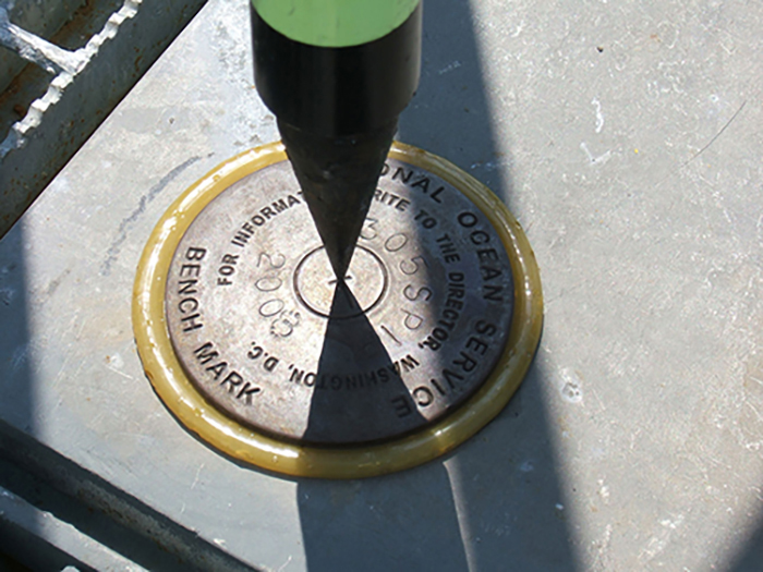
Accurate positioning is crucial in hydrographic surveying. GPS systems provide real-time location data, ensuring the precision of collected measurements.
Hydrographic survey equipment plays a vital role in various marine construction activities:
A LiDAR map is a representation of the Earth's surface created using LiDAR technology. It provides detailed topographical information, which is invaluable in planning and executing marine construction projects.
The difference between 2D and 3D modelling is that, 2D modelling offers flat representations, useful for basic planning. In contrast, 3D modelling provides a comprehensive view, allowing engineers to visualize underwater terrains and structures more effectively, leading to better-informed decisions.
Ground Penetrating Radar (GPR) is used to detect and map subsurface features. In marine contexts, GPR can identify buried objects or changes in material composition beneath the seabed, which is crucial for construction safety.
In the coal plant process, hydrographic surveys ensure the integrity of water intake and discharge structures. Accurate mapping prevents blockages and maintains efficient cooling processes, which are vital for plant operations.
Hydrographic surveying is one among various engineering surveys, including topographic, geodetic, and construction surveys. Each type serves a specific purpose, but hydrographic surveys are uniquely focused on underwater environments, making them indispensable in marine construction.
By leveraging advanced hydrographic survey equipment, marine construction projects can achieve higher precision, safety, and efficiency. As technology continues to evolve, the integration of tools like LiDAR, GPR, and 3D modelling will further enhance our ability to understand and work within underwater environments.