
"When efficiency and precision matters"
www.africansurveyors.com
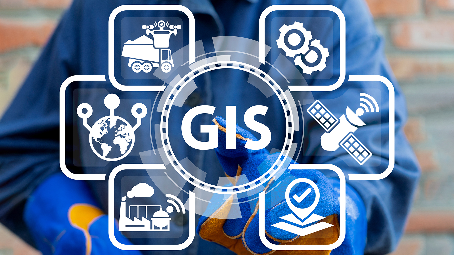
"Maps aren’t just pictures; they’re insights waiting to be unlocked." That’s the power of geospatial technology and the role of location in science! Every coordinate tells a story—and today those stories are transforming sectors from environmental science to engineering and mining. The field has exploded into a $28 billion ecosystem and over 675,000 professionals are shaping it daily.
Geospatial technology and the role of location in science rest on three pillars: GIS for mapping and analysis, GPS for pinpoint accuracy, and remote sensing—often via airborne platforms. Together, they capture data that bridges digital and real-world spaces. It’s not just about data collection—it’s about context. Location adds meaning. Whether it's tracking storm surge via online LiDAR maps or mapping soil health, the location is the narrative backbone.
LiDAR services use laser pulses to create dense, precise point clouds. Airborne or terrestrial, these systems reveal elevation, structures, and vegetation with millimetre-level accuracy. That precision supports everything from floodplain modelling to forest inventory.
Need to model coastal erosion or update infrastructure layouts? Online LiDAR maps make it fast and interactive. Just overlay your study area and extract elevation profiles, slope calculations, or even drainage paths. The result? Better decisions—quicker.
3d scanning engineering is revolutionising as-built documentation. Terrestrial laser scans capture buildings inside and out with breathtaking detail. That data feeds 3D modelling in construction workflows, allowing clash detection, retrofits, and renovations—all before stepping on site. Imagine retrofitting a heritage façade with confidence—happy architects, smoother builds, fewer mistakes.
In environments like process plants or mines, geospatial tech thrives. Floor plans, equipment positioning, piping, and structural elements can be precisely mapped using the same LiDAR tools. The result is a digital twin of your plant. This twin supports inspections, asset management, compliance—and optimises maintenance. Location in science isn’t abstract—it’s actionable. Every pump and valve gains spatial context.
Geospatial technology originated as simple spatial data handling. Today, it embraces AI and predictive analytics. That’s the true power of merging location with science. Researchers now model climate change impacts, disease spread, habitat loss—all rooted in spatial context.
Modern scientific problems demand multidisciplinary insight. Spatial data allows engineers, ecologists, urbanists, and social scientists to collaborate. Through location, we align datasets and ask sharper questions. It’s synergy in action.
First, tap into online LiDAR maps via tools like NOAA's portal or USGS viewers. Use them to overlay your own project data. Next, try georeferencing a site using low-cost GPS and blend that with drone-based LiDAR to survey topography. Follow by importing that data into BIM platforms. Boom—your process plant or construction site is modelled to millimetre precision. And you can track changes over time. That’s ground-level insight.
Expect even greater crossover between geospatial and emerging tech—AI, IoT, autonomous systems. Imagine integrating real-time sensor feeds with spatial models. We’ll monitor infrastructure, plate motions, flood risks in real time. That’s not sci-fi; it’s where geospatial tech is headed. And location will always be the kingpin.